
In several posts and pages now I have used screenshots from Google Earth showing overlays of historical maps, such as the example below.
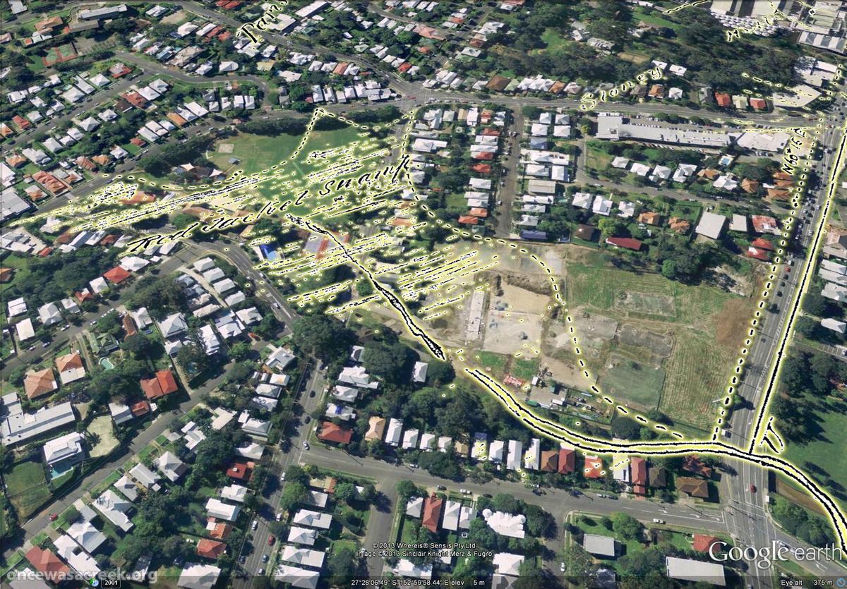
Red Jacket Swamp (now Gregory Park and Frew Park), as depicted in 1850.
I have found this to be a very useful way to both explore and present these maps, and because Google Earth is freely available, I had also hoped that it would provide a way for me to share these maps with anyone else who wants to explore them. However, until now the files that I have created have been clumsy and unreliable, at times crashing Google Earth as soon as they are opened. The files were also large and inconvenient to download.
I have now worked out how to prepare the maps so that they open quickly and smoothly in Google Earth. In addition, I have managed to host the files remotely so that they can be accessed from anywhere without being downloaded in their entirety. Even better, Google now provides a ‘gadget’ for viewing the files within a web browser without even opening Google Earth!
So, I have re-packaged the most interesting maps in my collection and uploaded them so that you can explore them for your enjoyment. They can be accessed from a brand new Maps page in The Study section of the site, but for convenience the links are also listed here:
- 1843 – Plan of the limits of the town of Brisbane
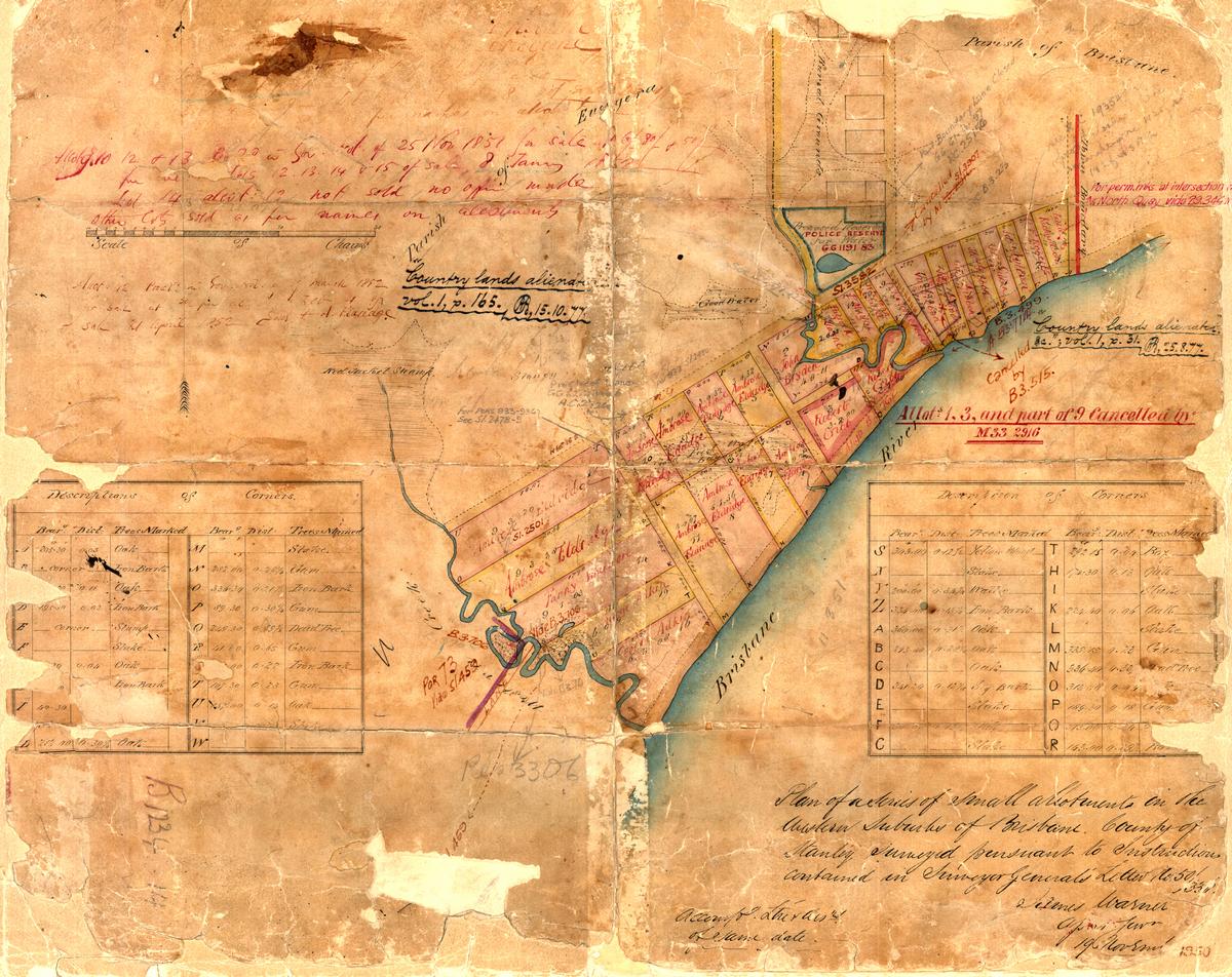
- 1850 – Milton area as surveyed by James Warner
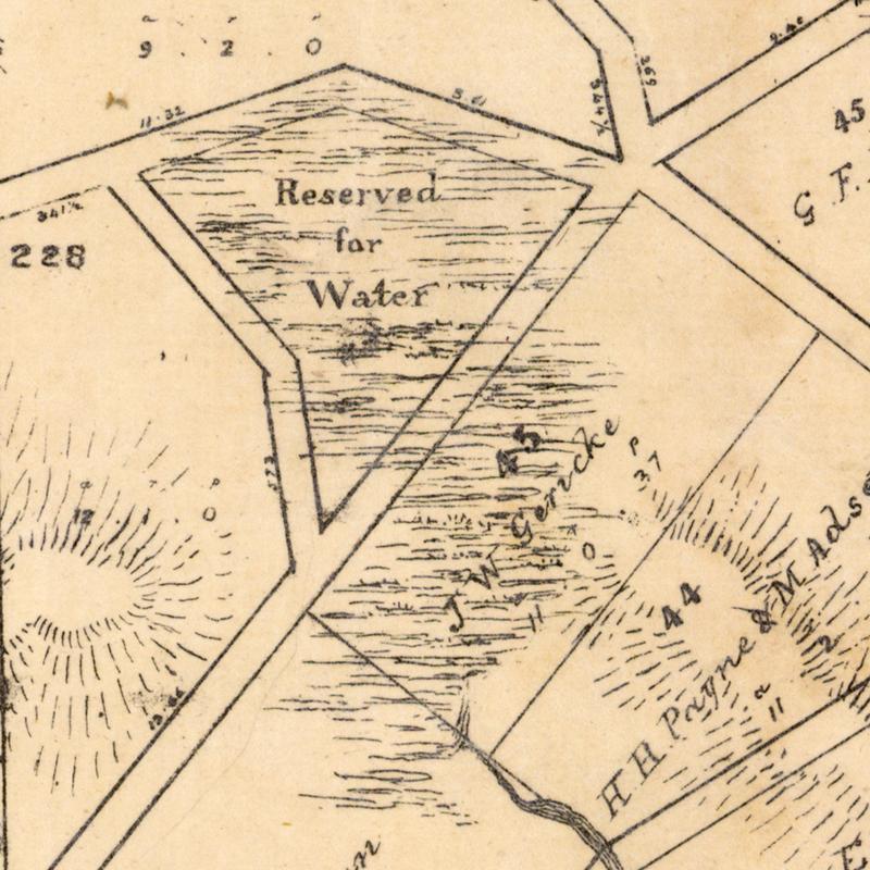
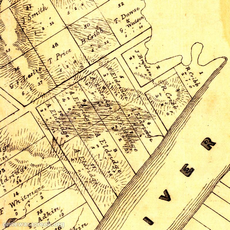
- 1859 – Plan of Portions 203 to 257 in the Environs of Brisbane, Parish of Enoggera
- 1864 – Plan of Brisbane Water Works
- 1895 – Brisbane and Suburbs showing Mount Coot-tha Park (Sheet 7 of A.R. McKellar’s series of maps of Brisbane)
Preparing these maps so that they display clearly in Google Earth is a bit of a challenge, and to this end I’ve experimented with various colour schemes in addition to the bright yellow that I have used in these latest versions. This scheme is probably not perfect for all of the maps, but hopefully it is adequate for research and ‘exploration’ purposes.
I hope you enjoy exploring the maps. And most of all, I hope they work! Hosting Google Earth data in this way is new territory for me, so I won’t be surprised if some technical glitches occur. Please report any problems that you experience when using them.
And stay tuned… there may be more maps coming in the near future!


