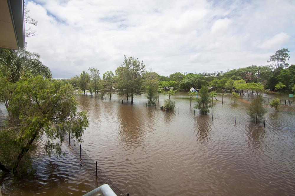
I don’t know about you, but I didn’t expect to be seeing scenes like these just a couple of years after January 2011. (See the new Gallery page for more pictures of today’s flooding.)
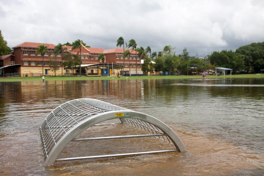
Gregory Park, 28 January 2013. The tide was still rising, and water was gushing into the park through this drain.
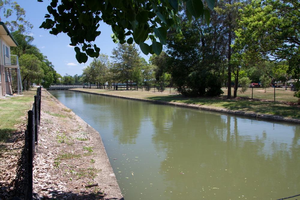
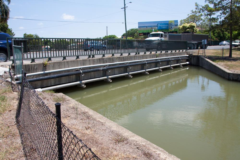
Milton Drain, from the mystery building on Milton Park, 28 January 2013.
Then again, we shouldn’t be surprised: there’s no reason why floods should be spaced out evenly over time. Indeed, the historical record of Brisbane’s floods suggests that they often come in twos or threes.
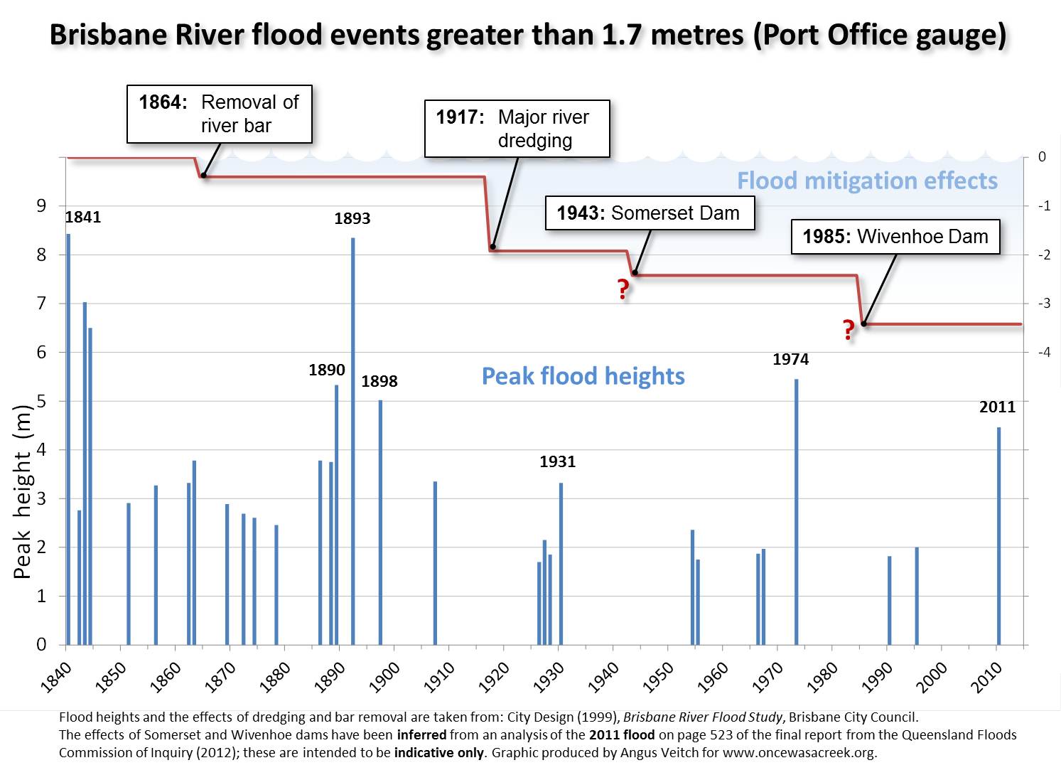
Flood events greater than 1.7m in the Brisbane River since 1841. Also shown are the estimated mitigating impacts of river works and the two dams. All data sourced from the Brisbane River Flood Study except the effect of the two dams, which is indicative only and has been inferred from an analysis on page 523 of the final report of the Flood Commission of Inquiry.
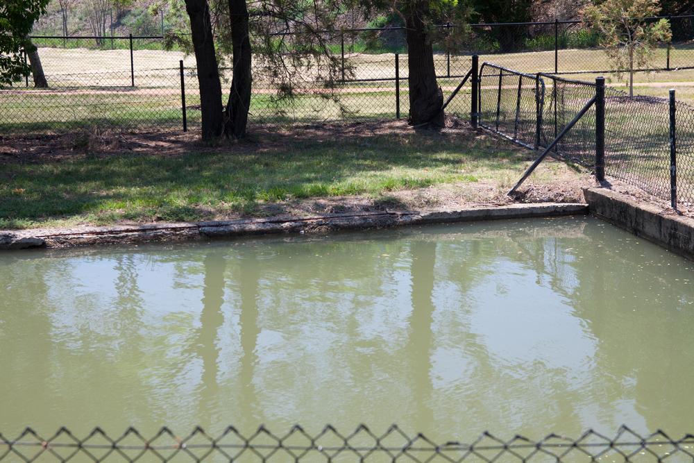
Meanwhile, just downstream . . .
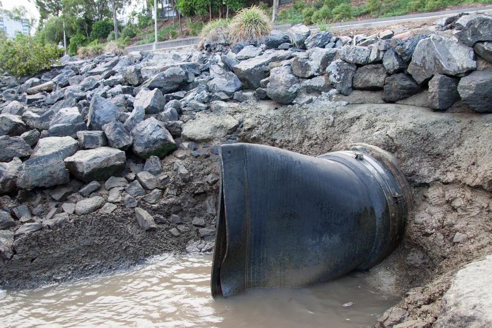
A duckbill valve on the riverbank at Milton
I’m also guessing that the Brisbane City Council wasn’t expecting their new backflow prevention devices to be put to use so soon. As explained in my essay Backflow to the Future, the Council has recently installed duckbill valves and flap-gates to prevent flooding in several locations, including the Cribb Street drainage system in Milton. This area spans between Cribb Street and Park Road.
After my little adventure this morning I took a walk around this area and could see no evidence of flooding. Unless this whole area is higher up than the Western Creek area (which I do not believe to be the case), this means that the duckbills and flap-gates are doing their job.
If this is the case then the Council can give itself a pat on the back. And if it has any sense, the Council will look for ways to tell everyone how many properties these devices saved from being flooded. Then again, the Council may not want to create too much work for itself. Before long, every suburb in Brisbane will be wanting one of these duckbill thingies . . .