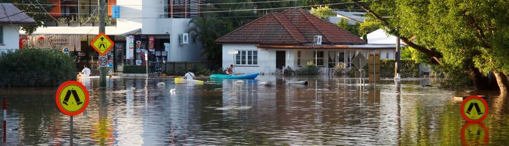
Floods

The extent of the 2011 flood in Western Creek (DERM / Google Maps)
Western Creek has of course flooded many times before (and will do so again), not only from water entering from the river but also from local runoff from the catchment. The story of the creek would incomplete without an exploration of its floods.
I’ve written two flood-related pages so far. The first looks at how floods resurrect the ghosts of creeks long buried, while the second examines an idea whose time has come and come again — a floodgate at the end of Western Creek.
Last modified: March 20, 2013
cock
c1da11
en1svj
mwzwrk