
This is the second in a series of posts about Langsville Creek, which was Western Creek’s upstream neighbour on the Toowong/Milton Reach. You may want to check out Part 1 and Part 3 of the series.
The whole iceberg
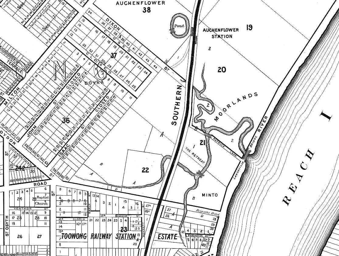
Langsville Creek as depicted on A.R. McKellar’s map of Brisbane, published in 1895.
If you look at the Milton Reach of the river on any of the old maps of Brisbane, such as the one drawn by A.R. McKellar in 1895 (shown to the right), you will notice a creek with several winding branches that meets the river at Patrick’s Lane. This was known as Langsville Creek. As we saw in Part 1 of Uncovering Langsville Creek, the creek as it was depicted on the old maps is now gone. A few drain openings are about the only physical reminders left of what must have once been a prominent part of the landscape.
But there must have been more to Langsville Creek than just the meandering branches shown on the early maps. Each of these branches must have had an origin somewhere further upstream. With one or two exceptions, the early maps show nothing of those upstream parts of the creek. Our understanding of Langsville Creek will remain very superficial, however, if we do not look further than what we can see on the maps. It would be like trying to understand an iceberg while ignoring everything under the water. If we want to uncover Langsville Creek and its legacy in today’s landscape, we need to look further upstream: we need to see the whole iceberg.