
Last Saturday (the 12th of January) we had a particularly high tide. According to willyweather.com, high tide at the Port Office was 2.7m at 10:51am. The Bureau of Meteorology’s tide tables suggest that we won’t get another tide this big (give or take a few centimetres) until the 26th of May.1
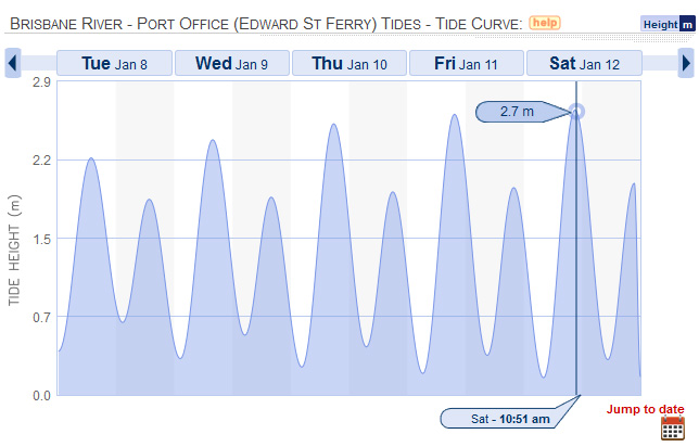
Tides at the Brisbane Port Office for the week of 8 January 2013, according to willyweather.com.
I was aware of this only because a couple of weeks earlier I had passed by the Milton Drain and noticed that it was unusually full. When I looked up the tide tables to see how that tide rated, I found that an even higher one was coming. So I made a point of visiting the drain at high tide on the 12th of January. I even put a reminder in my phone. Yes, this is the sort of thing that I do.
Here is what I saw:
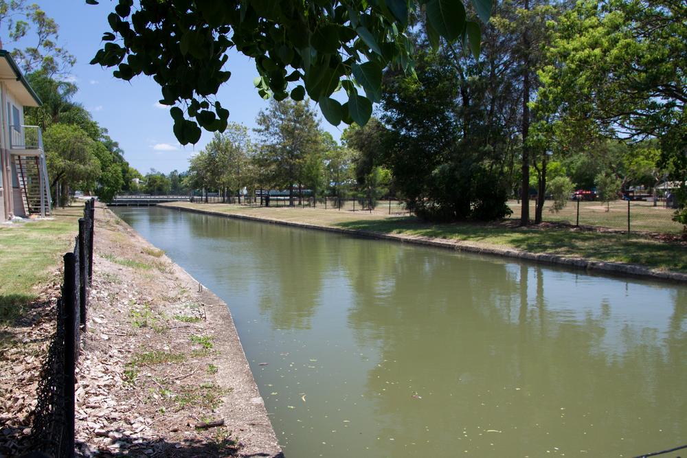
Milton Drain at high tide on 12 January 2013.
The water level must have been barely half a metre below Milton Road. At the other end of Milton Park, the water was just a few centimetres from the top of the concrete:
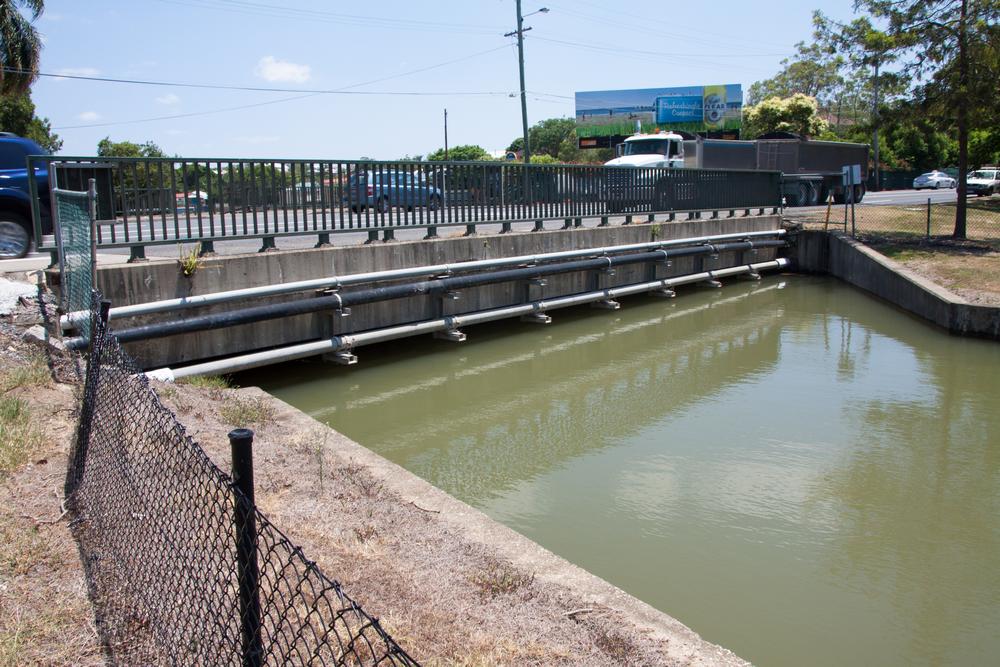
Milton Drain at high tide on 12 January 2013.
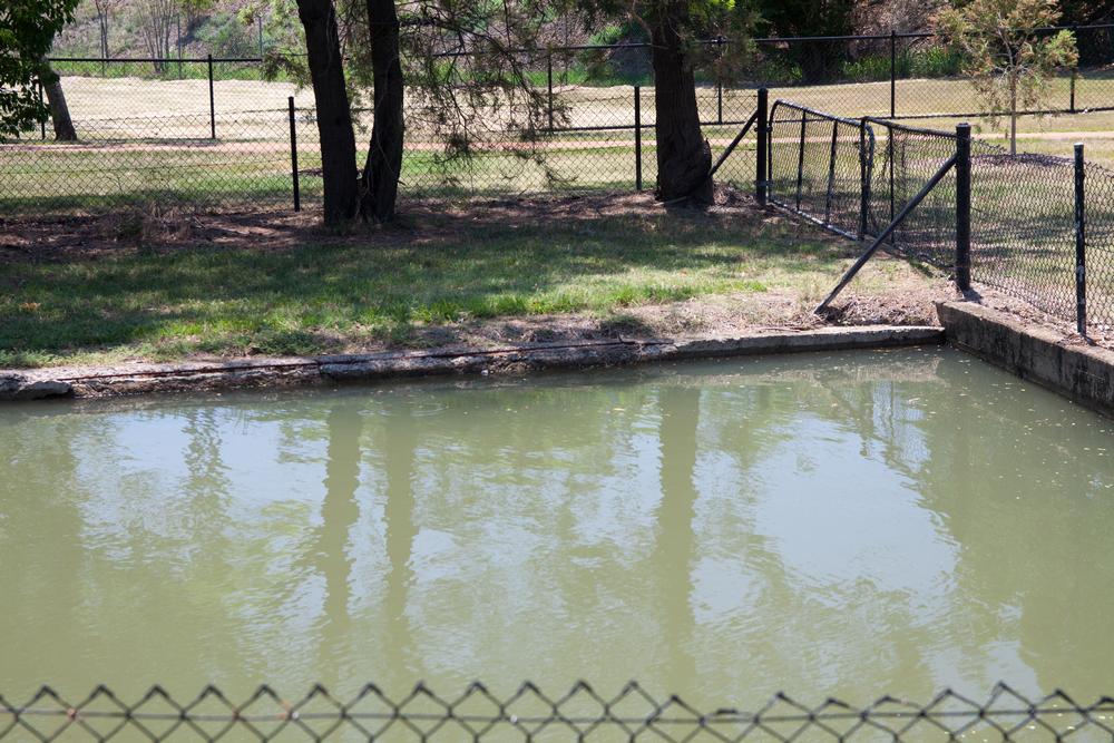
Milton Drain at high tide on 12 January 2013.
Not much room to move, is there?
I’m not sure how much higher the tides get than this; I’ve never studied them before. Next January, BoM’s tide tables predict a tide about 10cm higher than this one, and the maximum last year was just as high. So it looks like Milton Drain is built more or less exactly to the height of the highest high tide that typically occurs. This is all well and good, unless of course there happens to be stormwater flowing through the drain as well. If a tide like this coincided with heavy local rain, the drain would spill over into Milton Park (as I’m sure it has on many an occasion). And if the river is already swollen from rain further upstream — well, we know what happens then.
What I didn’t think to do was to see if the water was visible through any of the drains in Gregory Park or even Rosalie, as a tide like this would have surely reached that far. I did, however, get down to the river later that afternoon, and saw clear signs that the water had spilled over onto the bike track just downstream of the old floating restaurant. But I didn’t have my camera with me. Perhaps in May . . .
Notes:
- TidesChart is another useful source of information about tides and local conditions. ↩

