The steep descent from Sir Samuel Griffith Drive, down to the tributary of Cubberla Creek
Recently, I returned to the tributary of Cubberla Creek that I wrote about here just over a month ago. I was determined to see more of it than I did on the first visit. So this time, I approached it from the top, with the aim of working my way downstream. There is no path to this creek, so I just scrambled straight down through the scrub from the side of Sir Samuel Griffith Drive, not far from the Kuta Cafe on the top of Mount Coot-tha. I soon discovered that this was a pretty dumb idea, and for one simple reason: lantana.

A path carved through the lantana that covered most of the stream
Whoever introduced this infernal weed to this country has a lot to answer for. More than a few times, I wished it was them instead of me getting scratched to pieces as I slashed my way (with a stick!) through the thickets that covered nearly the whole length of this stream. So it was tough going, but it in the end it was worth it for the pleasure of discovering the few beautiful pockets of the creek where the lantana did not intrude. In fact, pausing in these places was all the more rewarding given the work required to find them, and knowing that in all likelihood, no-one else had stood in these places for some time (surely it can’t be that often that a fool like me stumbles down here).
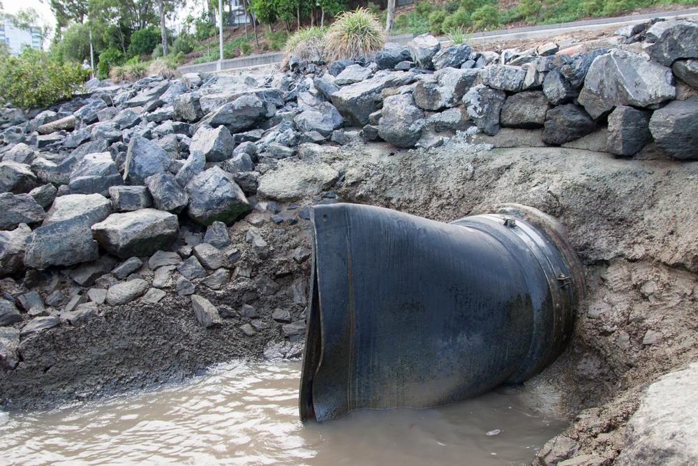
Anyway, this time I made a point of taking my camera, so I at least have something to show for this little adventure besides smartphone snaps. You can see some of the results above and blow, and there are more in this set on my flickr page. Something that interests me about this creek is the way that it abruptly ends when it disappears into a drain under the residential blocks at Ringway Place, Chapel Hill. On one side there is the creek in a near-natural state (if you can ignore the lantana), and on the other side is suburbia, in all its sanitized glory. They are two different worlds, and yet they were once the same.

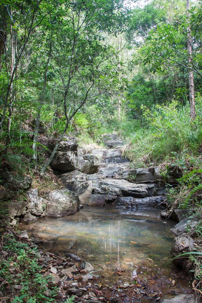
A pond in the Cubberla Creek tributary
Seeing the past and the present in the same view like this is not so easy in Western Creek — except perhaps up in the headwaters near Tristania Drive, but let’s face it, even here you’ve got to use your imagination here to see the creek sometimes. Wouldn’t it be nice if just a little bit more had been left for us to enjoy?