
Places, past and present
Everything happens in a time and a place, and every place is a bridge between the present and the past.
Place status
Creeks
Suburb
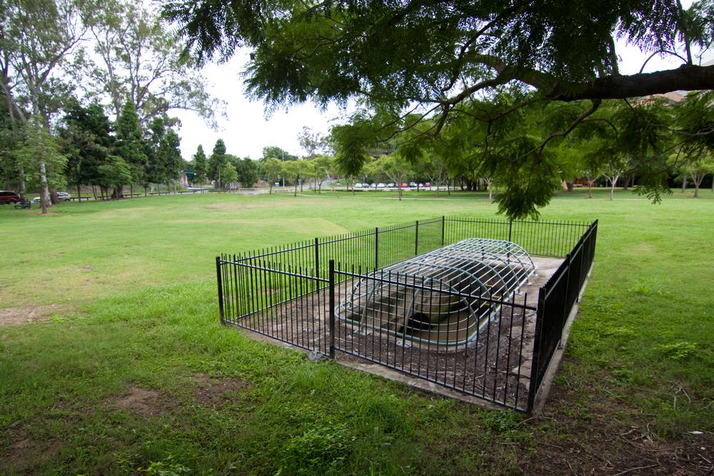
Moorlands Park
A park in Toowong/Auchenflower on Coronation Drive. Previously part of the Moorlands Estate and the lower branches of Langsville Creek.

Coronation Drive
Known as the River Road until it was renamed in honour of Queen Elizabeth II.
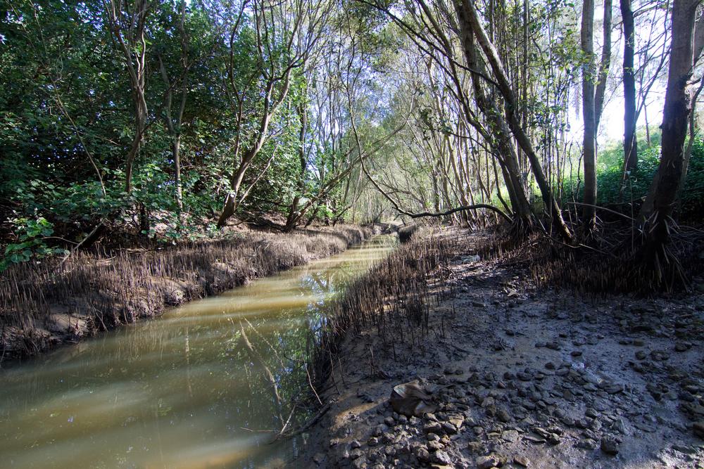
Perrin Park
A park in the lower reaches of Toowong Creek.
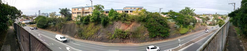
Milton Road
A major road running from Petrie Terrace to Toowong.
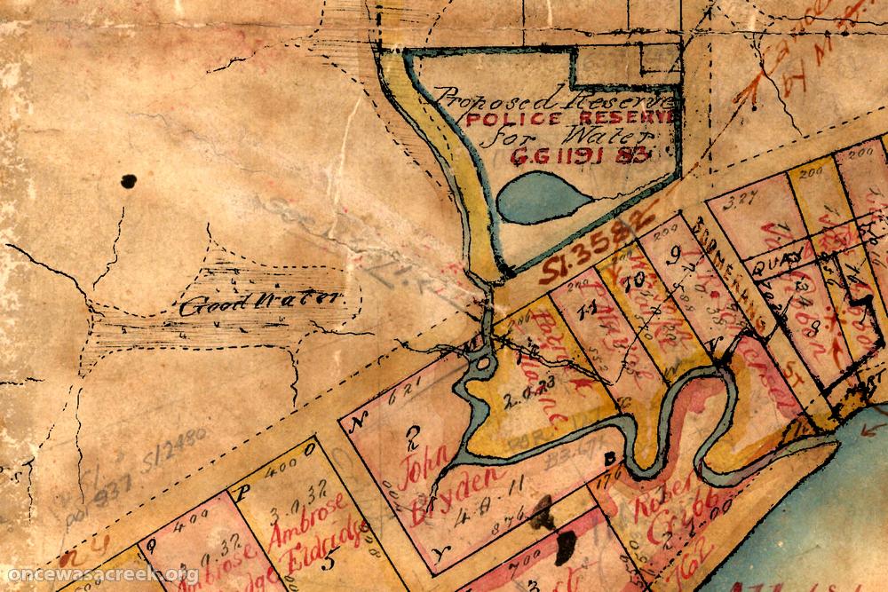
Milton Water Reserve
A waterhole and administrative designation marked on the earliest plans of the Milton area.
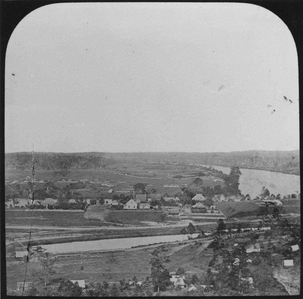
Roma Street Reservoir
Brisbane’s first water supply, located where the law courts are today.

Dunmore House
The residence of Robert Cribb up until sometime in the 1890s.

Wivenhoe Dam
Brisbane’s largest water storage, operating since 1984.

Milton House
Built in 1852 as the residence of Ambrose Eldridge, who ran the experimental Milton Farm.
Helidon Spa
A locality in the Lockyer Valley named after a historic spring.

Cubberla Creek Campsite
A campsite in the bush along a tributary of Cubberla Creek in Chapel Hill.
Somerset Dam
One of Brisbane’s largest water storages, operating since 1959.

Milton Congregational Church
Built in 1887, the church stood at the corner of Baroona and Haig roads.
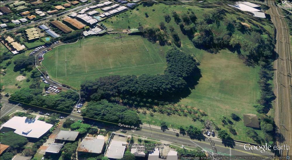
Toowong Memorial Park
A large sports field and general purpose park in Toowong.
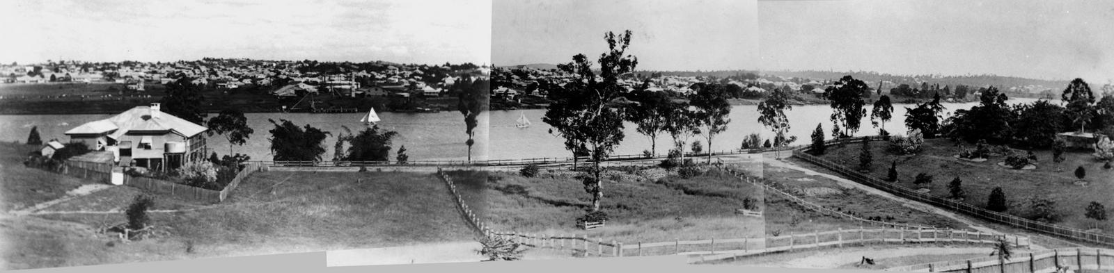
Dunmore Estate
The estate of Robert Cribb in Auchenflower, subdivided in 1899.

E. E. McCormick Place
A small park on Upper Roma Street, very close to the site of Brisbane’s first burial ground.
Milton Estate
A housing estate created in the 1880s in Milton on land originally owned by Ambrose Eldridge.
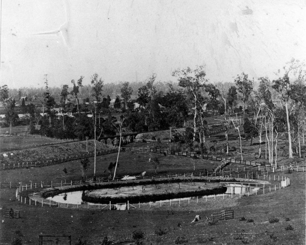
Auchenflower House
Built in 1876, this was home to Sir Thomas McIlwraith, the Queensland Premier, from 1879 to 1893.

Oogarding
A heritage listed house at 100 Simpsons Road, Bardon, overlooking the entire Western Creek Catchment.
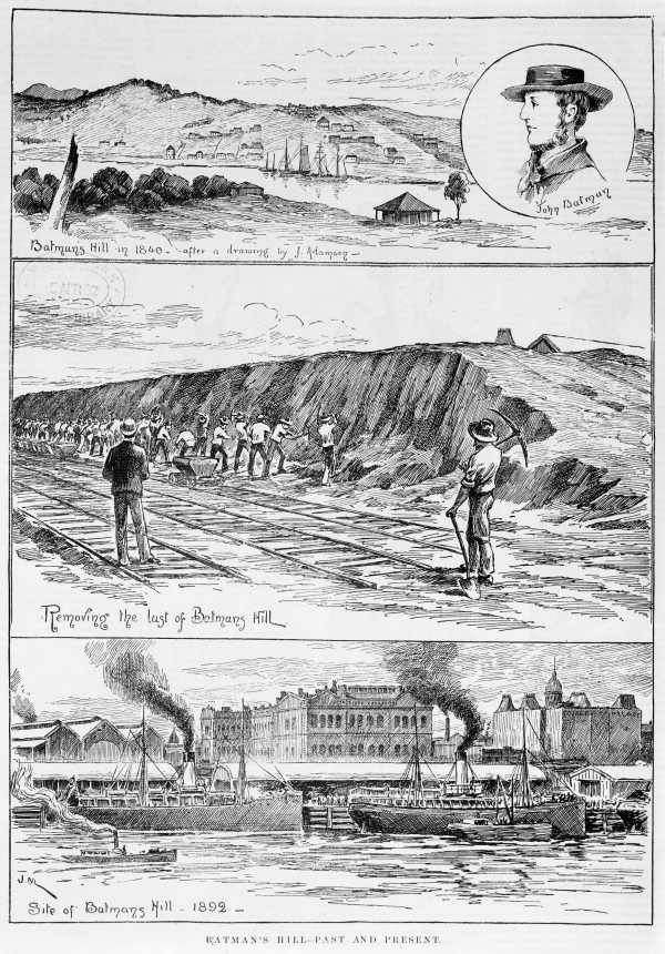
Batmans Hill
A historic landmark in Melbourne’s CBD, demolished in the 1860s to make way for Spencer Street Station.

Patrick Lane
A small road in Toowong intersecting Coronation Drive and Land Street.
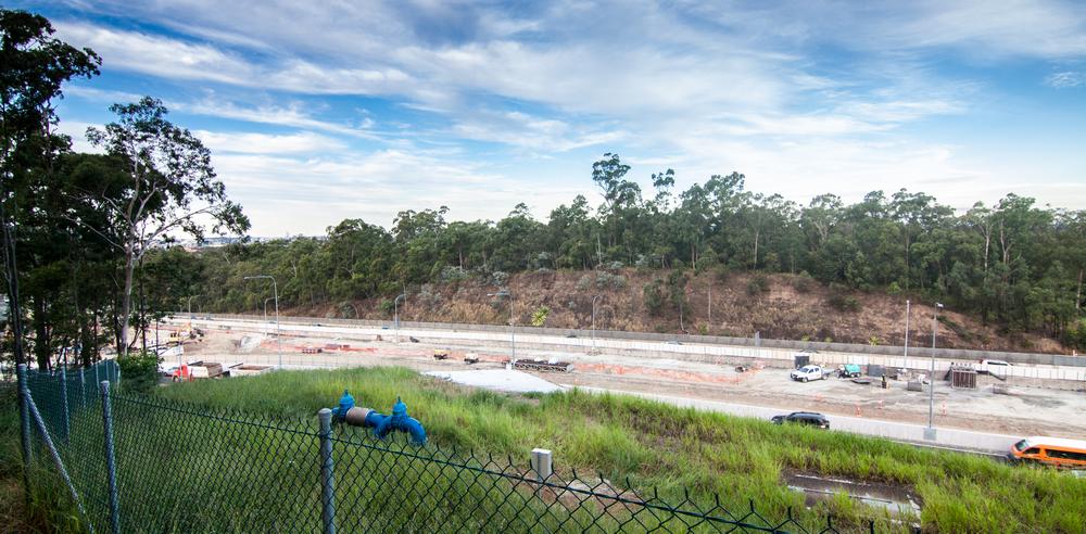
Western Freeway
A five-kilometer long freeway dissecting the forest between the Toowong Roundabout and Indooroopilly.

Palm Springs
A small patch of bush within the Tristania Drive housing estate below Stuartholme Road containing a spring-fed, palm-lined stream.

Ithaca Creek Swimming Hole
A modification of Ithaca Creek at the bottom of Lugg Street to provide swimming baths for the Ithaca school students and local residents. Officially opened on 18 January 1908, and destroyed by floodwaters less than…